
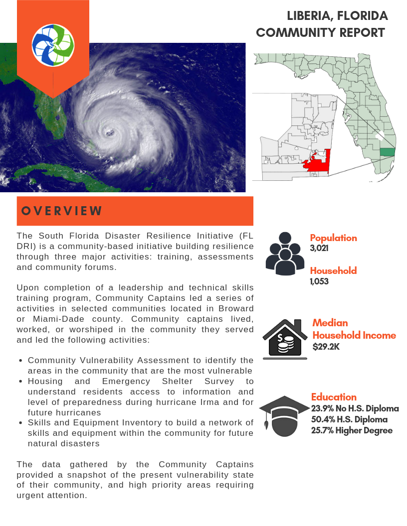
![]()
Liberia Dashboard
Demographics
Population
Households
Median Income in Dollars
%
Percent of Population Without High School Diploma
%
Percent of Population with High School Diploma
%
Percent of Population with Higher Degree
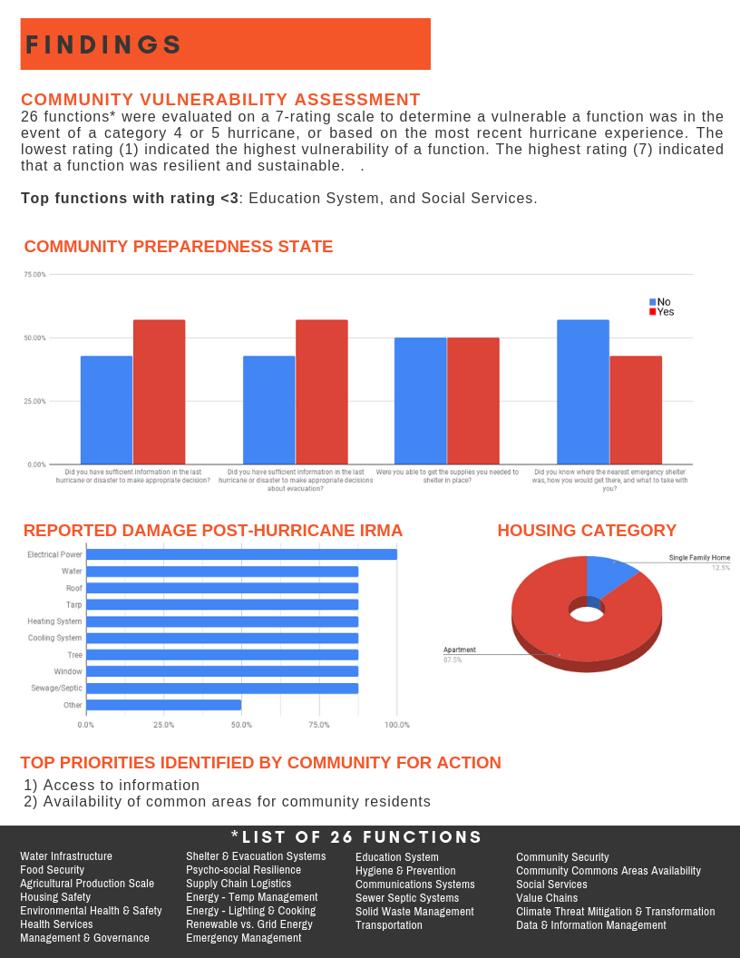
Housing and Emergency Shelter after Hurricane Irma
- Reported Damage by Type Electrical Power 100%
- Water Damage 87.5%
- Roof Damage 87.5%
- Tarp on Roof 87.5%
- Source of Repair Funds FEMA 17%
- Flood Insurance 17%
- Rebuild Florida 17%
- Renters Insurance 17%
- Survey Respondents’ Housing Type Apartment 87.5%
- Single Family Home 12.5%
%
Percent Who Had Sufficient Information in the Last Hurricance/Disaster to Make Appropriate Decision
%
Percent Who Had Sufficient Information in the Last Hurricance/Disaster to Make Appropriate Decision About Evacuation
%
Percent Who Were Able to Get Supplies Needed to Shleter in Place
%
Percent Who Knew Location of Nearest Emergency Shelter, How to Get There, and What to Take With Them
Vulnerability Assessment Survey
Respondents ranked 26 different functions that are critical for a society to function. The rankings were from 1, which was “Most Vulnerable.” to 7, which was “Resilient and Sustainable.”
The 5 societal functions to the right had the lowest rankings, which appear in parentheses next to the function description.
- Top 5 Priority Gaps Identified Education System (2)
- Social Services (2)
- Renewable vs. Grid Energy (3)
- Psychosocial Resilience (3)
- Community Security (3)
Identified Hazards in Broward County
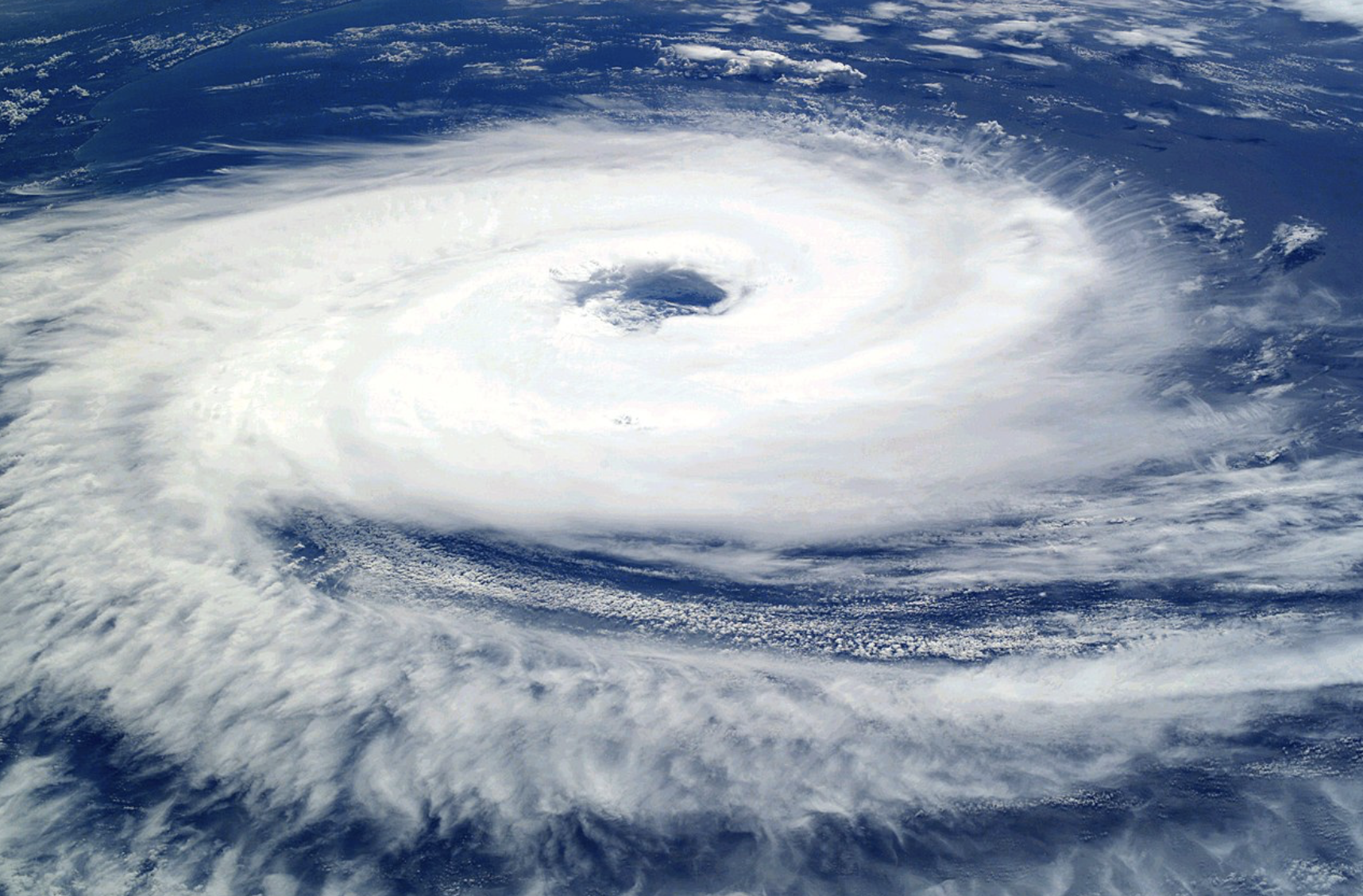
Hurricane or Tropical Storm
Broward County has a 48%-54% chance of a tropical strom or hurricance in any given year.
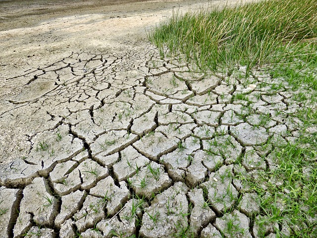
Drought
Broward could be expected to be hit a drought ranging from severe to extreme every 10 years.
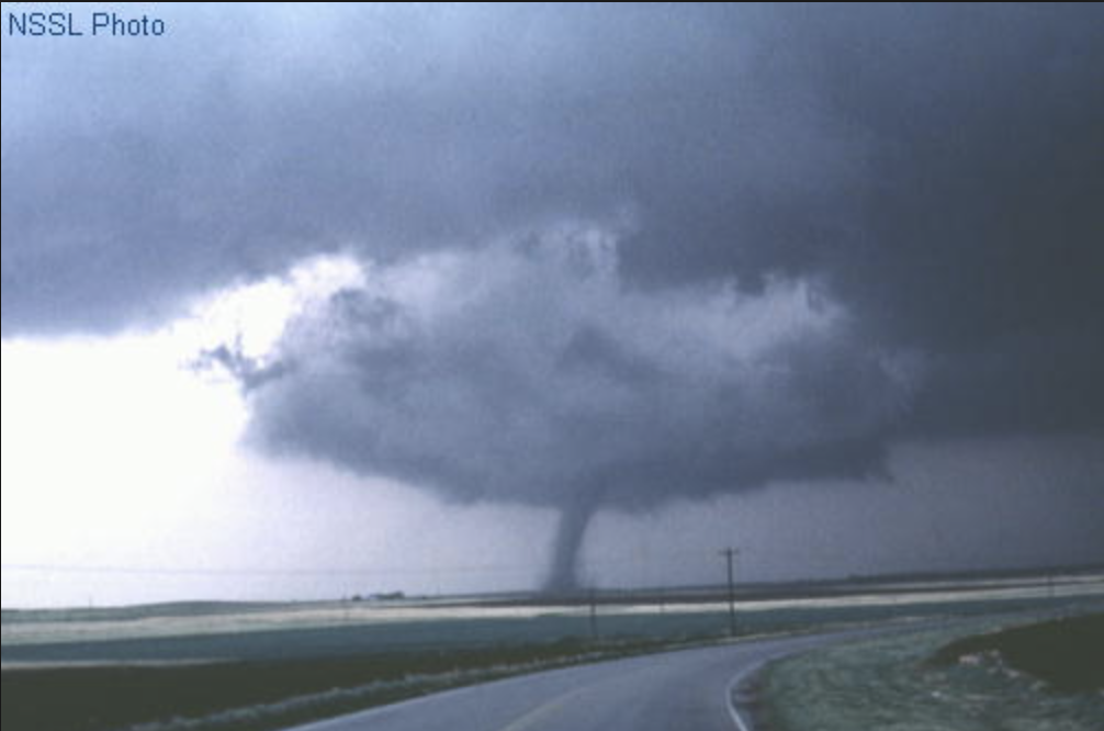
Tornadoes
There were 115 tornadoes in Broward County from 1950 to 2016.
Florida Dept. of Environmental Protection Contamination Locator Map

![]()
Search for Superfund and Brownfield sites, Active and Pending Petroleum Cleanup sites and Other Contamination Cleanup sites on the Florida Department of Environmental Protection Contamination Locator Map. You can search by Address, Zip Code or City. You can print the information about contaminated sites, or click through to all the documents relevant to the site since it was identified as a contamination site.
Click on the map to the left to enlarge it. The yellow triangle shows the location of an “Other Waste Cleanup Site” in Liberia. Details are available by map search.
Frequently Asked Questions
What were the top vulnerabilities identified in the Mission Critical Functions Surveys?
- Education System
- Social Services
- Renewable vs. Grid Energy
- Psychosocial Resilience
- Community Security
What were the top concerns discussed at the Community Forum?
- Lack of common space in the community for gathering – no shelter, no hubs
- No access to quality food in the neighborhood
What are the community's proposed solutions for priority concerns and the resources needed to address them?
1. Find ways to get more people from the community involved
2. Have a common location in the community to take care of people in Liberia
3. Establish a network of resources for cooking and access to equipment during a disaster response
Florida Disaster Resilience Initiative Summary Report: Liberia
Contact Janice T. Booher, MS at JJLBooher@comcast.net or Joanne Perodin, MPH at Joanne.Perodin@gmail.com with questions.

Surveys discussed on this page were conducted under the auspices of Health Initiatives Foundation, Inc.’s Florida Disaster Resilience Initiative with funding from The Miami Foundation.
Website designed by Heron Bridge Education, LLC for Health Initiatives Foundation, Inc. (2019)
Copyright © 2019 AGRR Initiative, Health Initiatives Foundation, Inc., All Rights Reserved.