Sarasota and Manatee Counties Hurricane Dashboard
Return to the MHI Sarasota and Manatee Counties DashboardView the information you need to know by clicking on the Layers in the Map Legend. These Include: Traffic Speeds, Closures, Detour Routes, Incidents, Road Conditions, Disabled, Vehicles, Congestion, Construction Zones, Other Events, Traffic Cameras, Message Signs, Truck Parking Availability, Drawbridge Crossings, Weather Radar, Weather Alerts, Road Weather Alerts, and Weather Forecasts
Facebook Feeds
Emergency Maps
Manatee County Emergency Map
Click HERE to access a larger version of the Manatee County map.
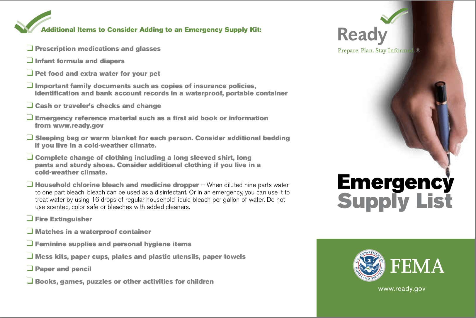
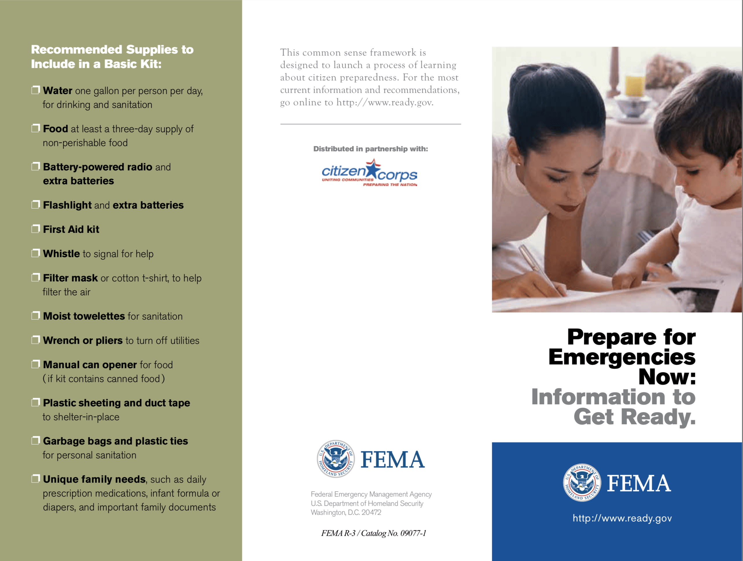
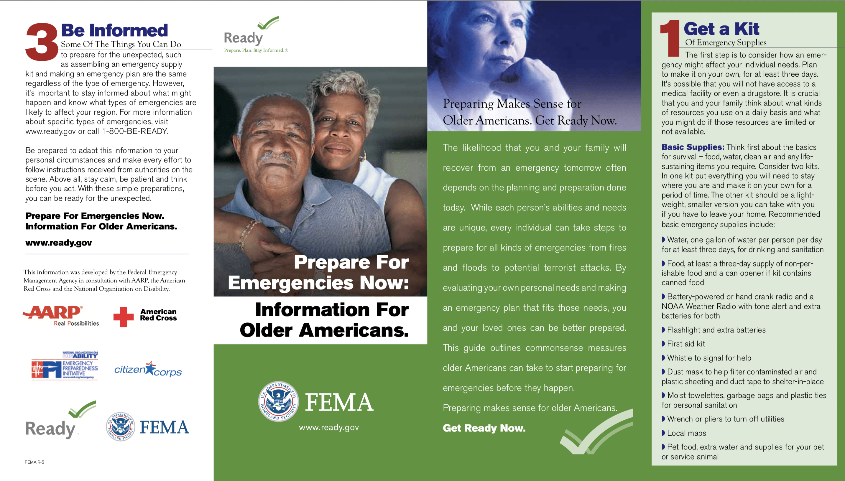
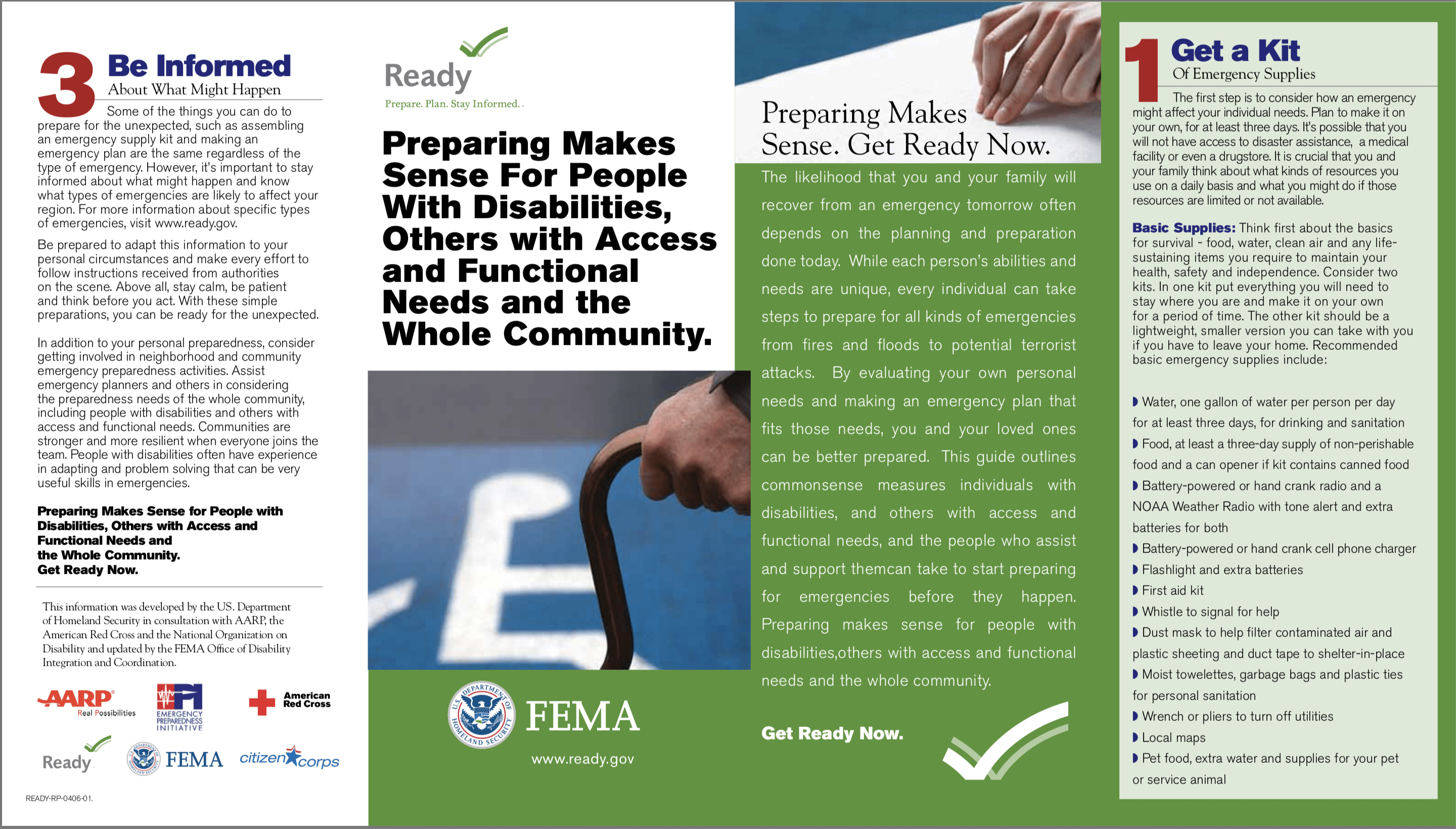
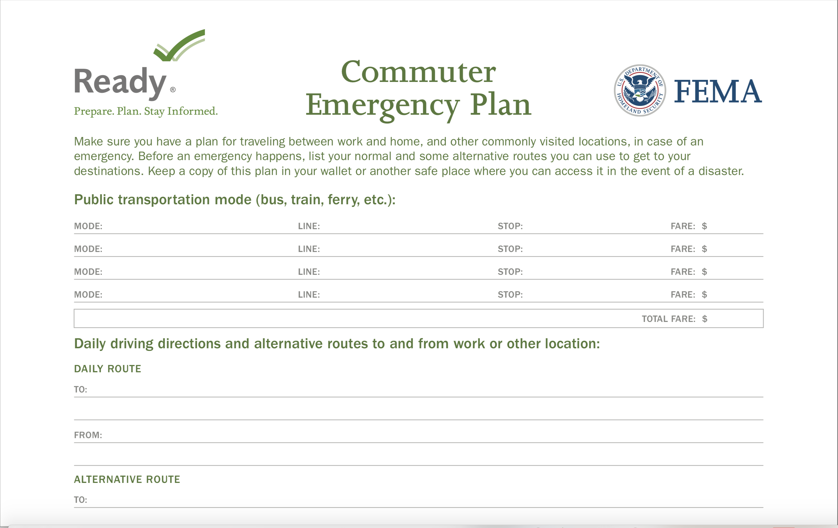
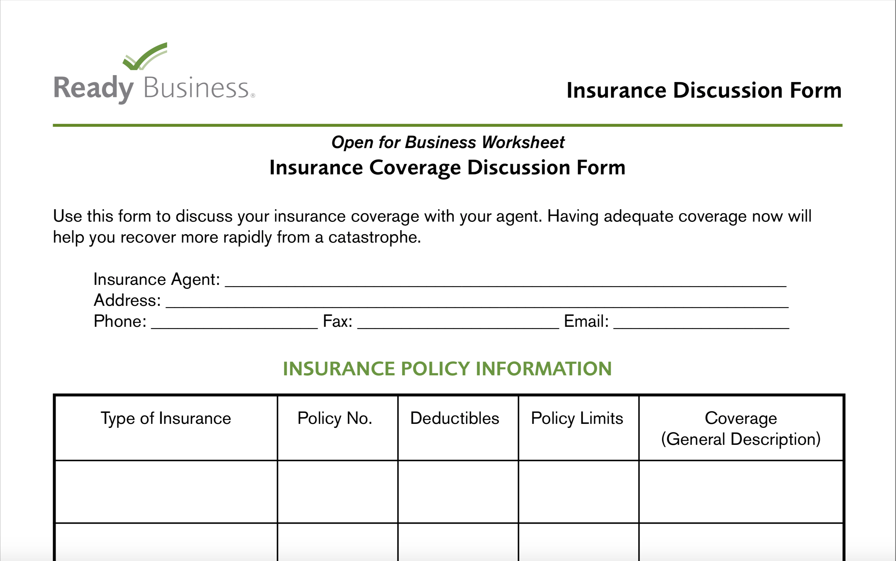
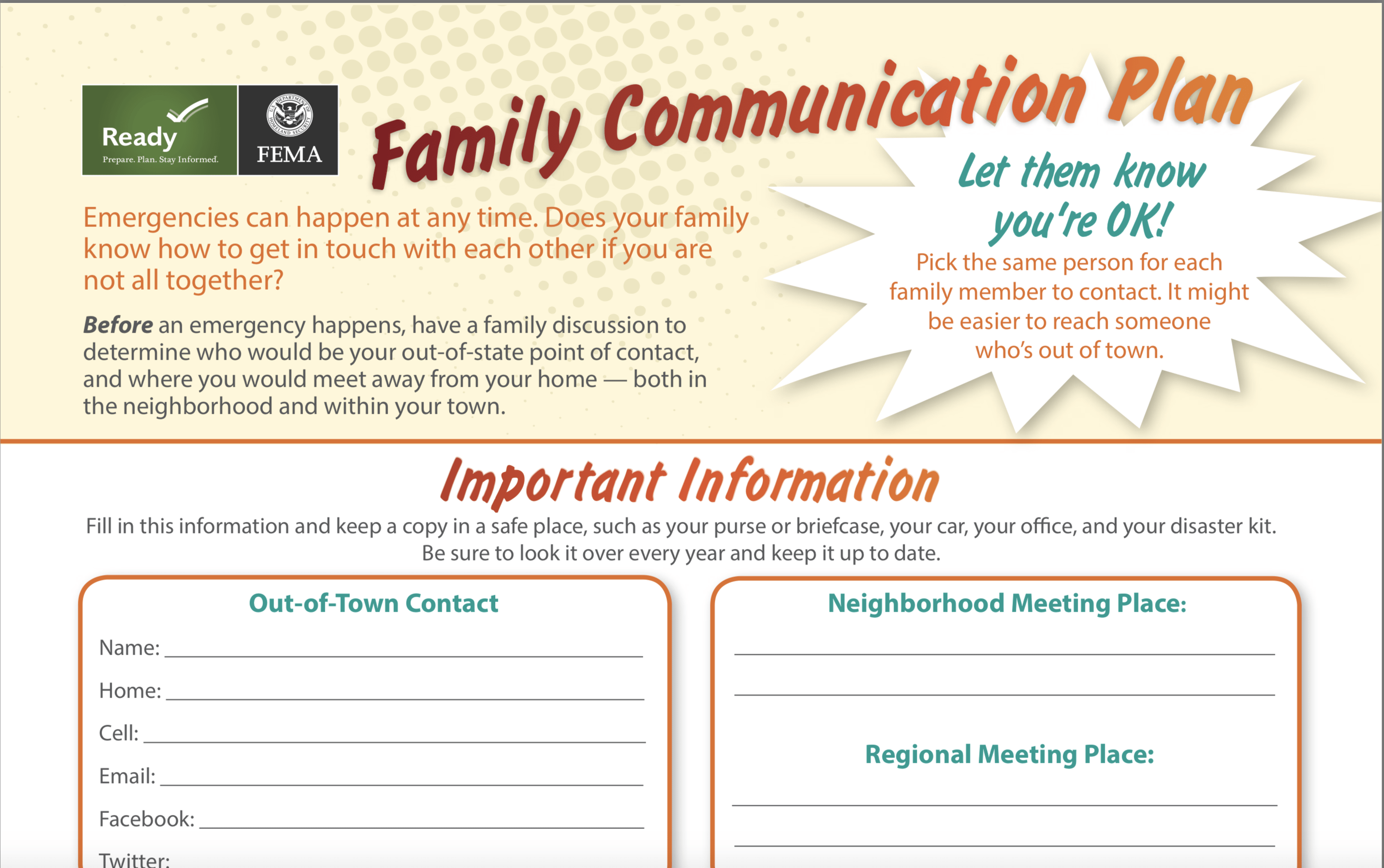
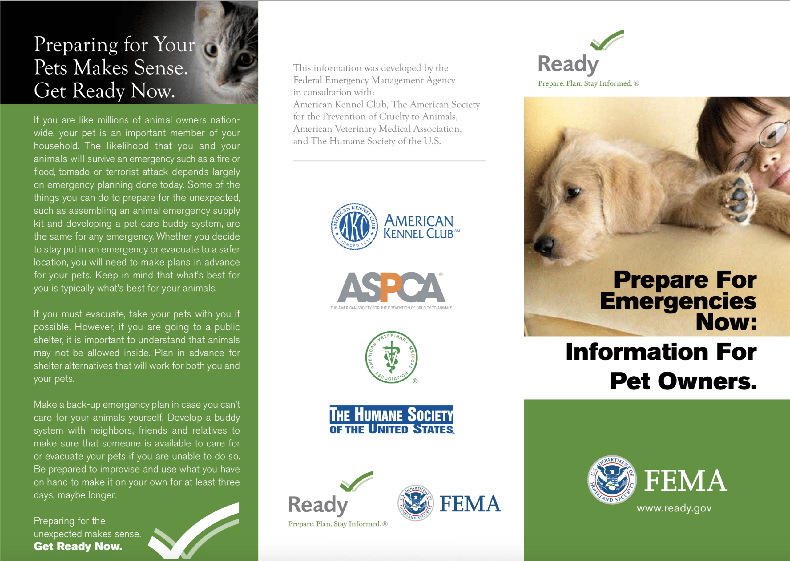
English Hurricane Publications
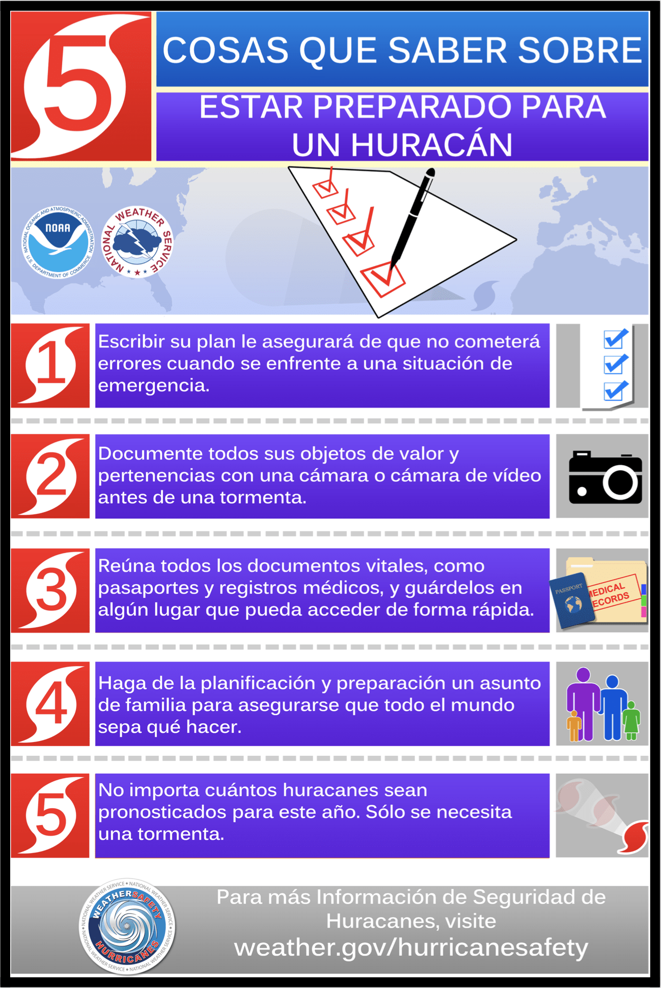
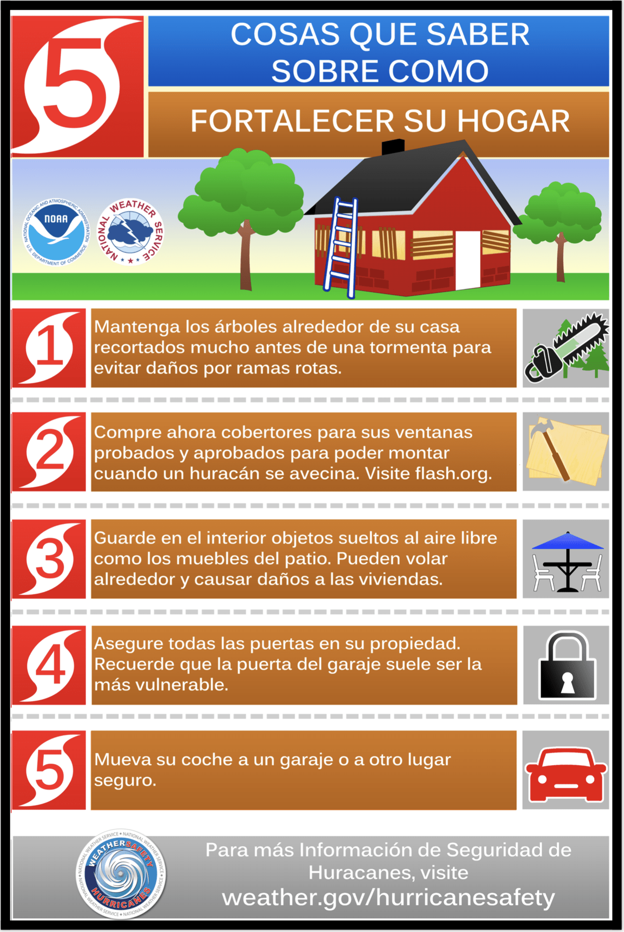
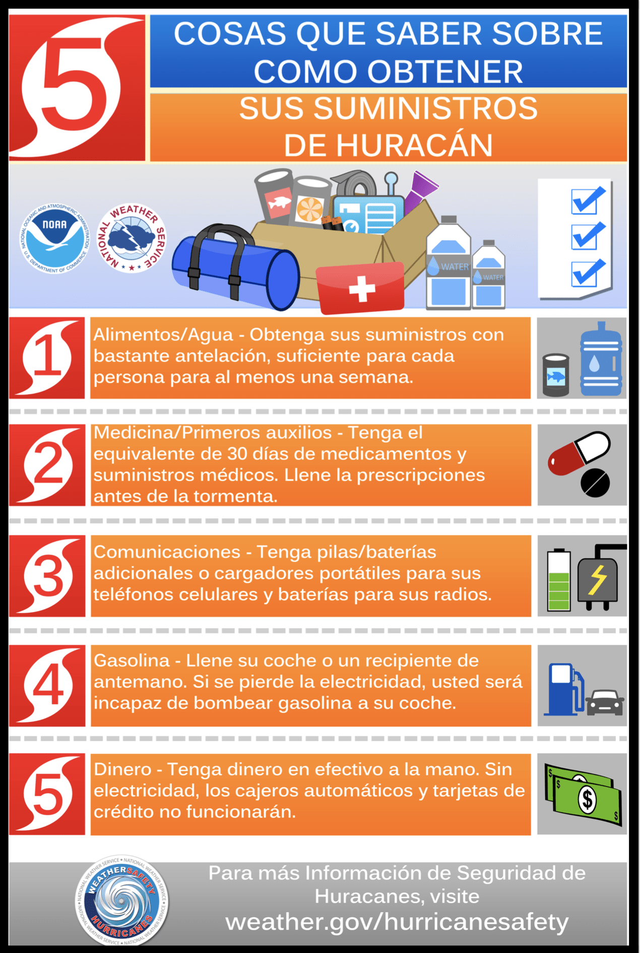
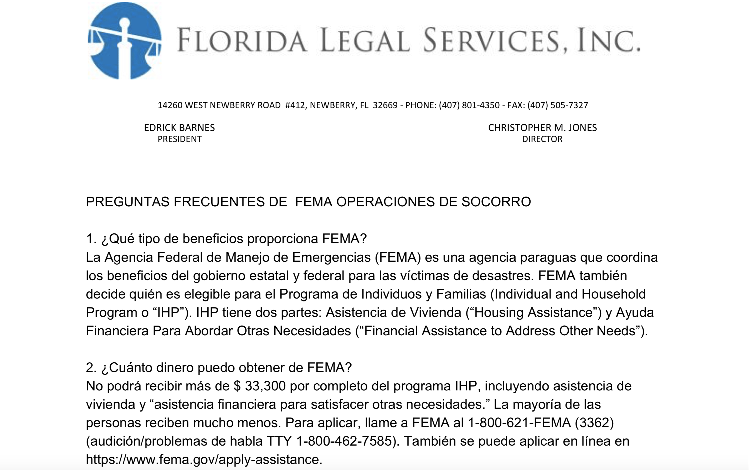
Spanish Hurricane Publications
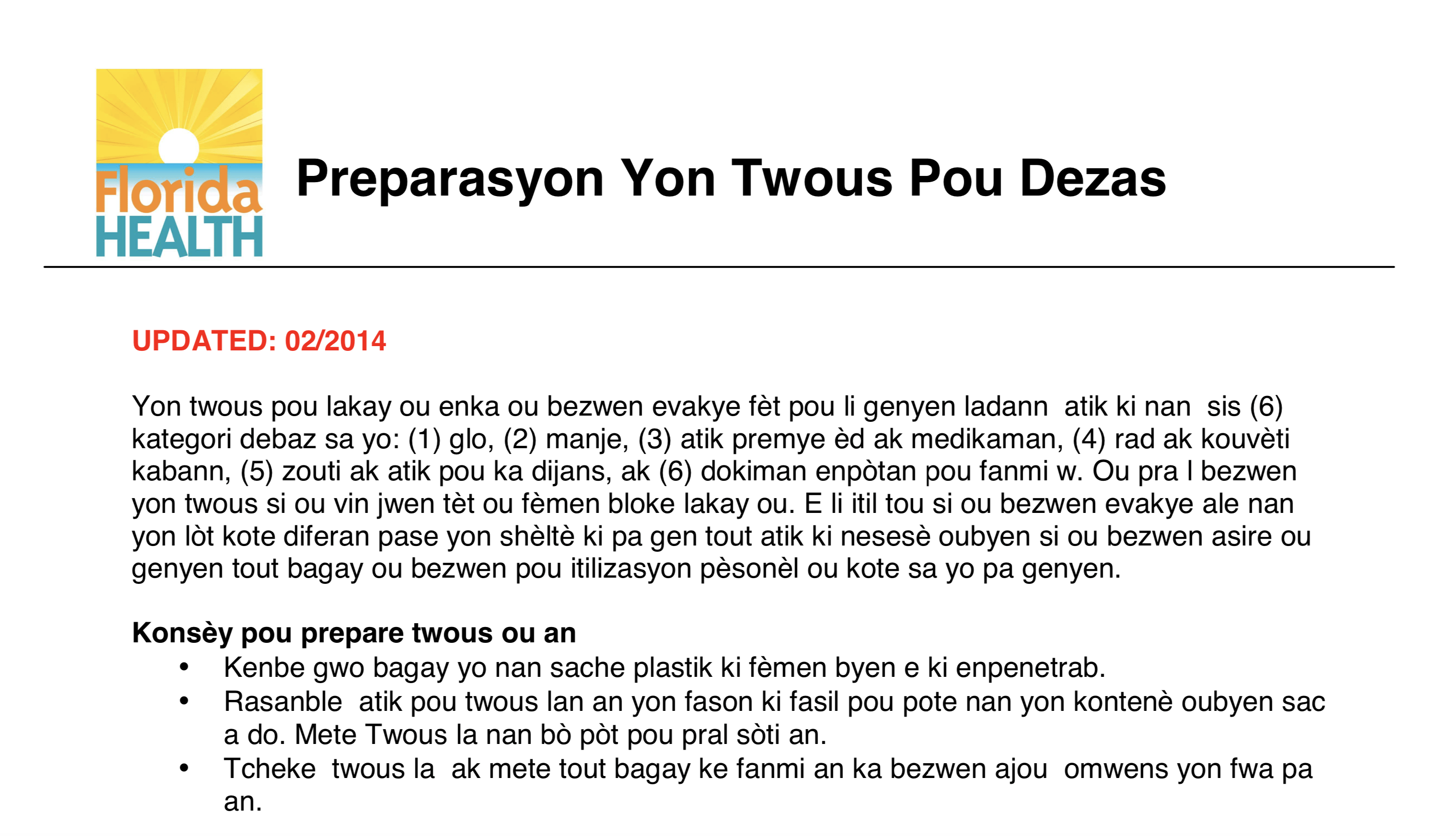
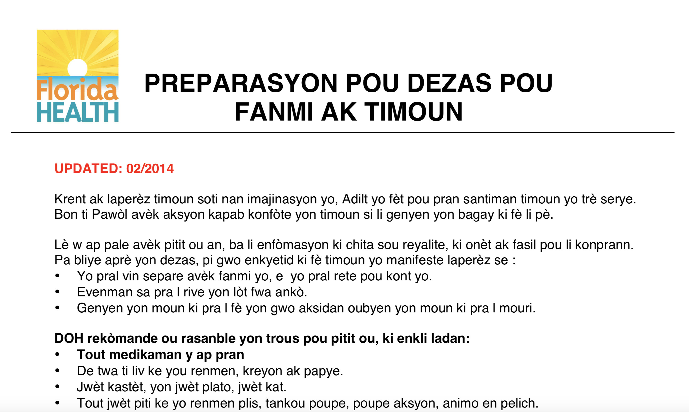
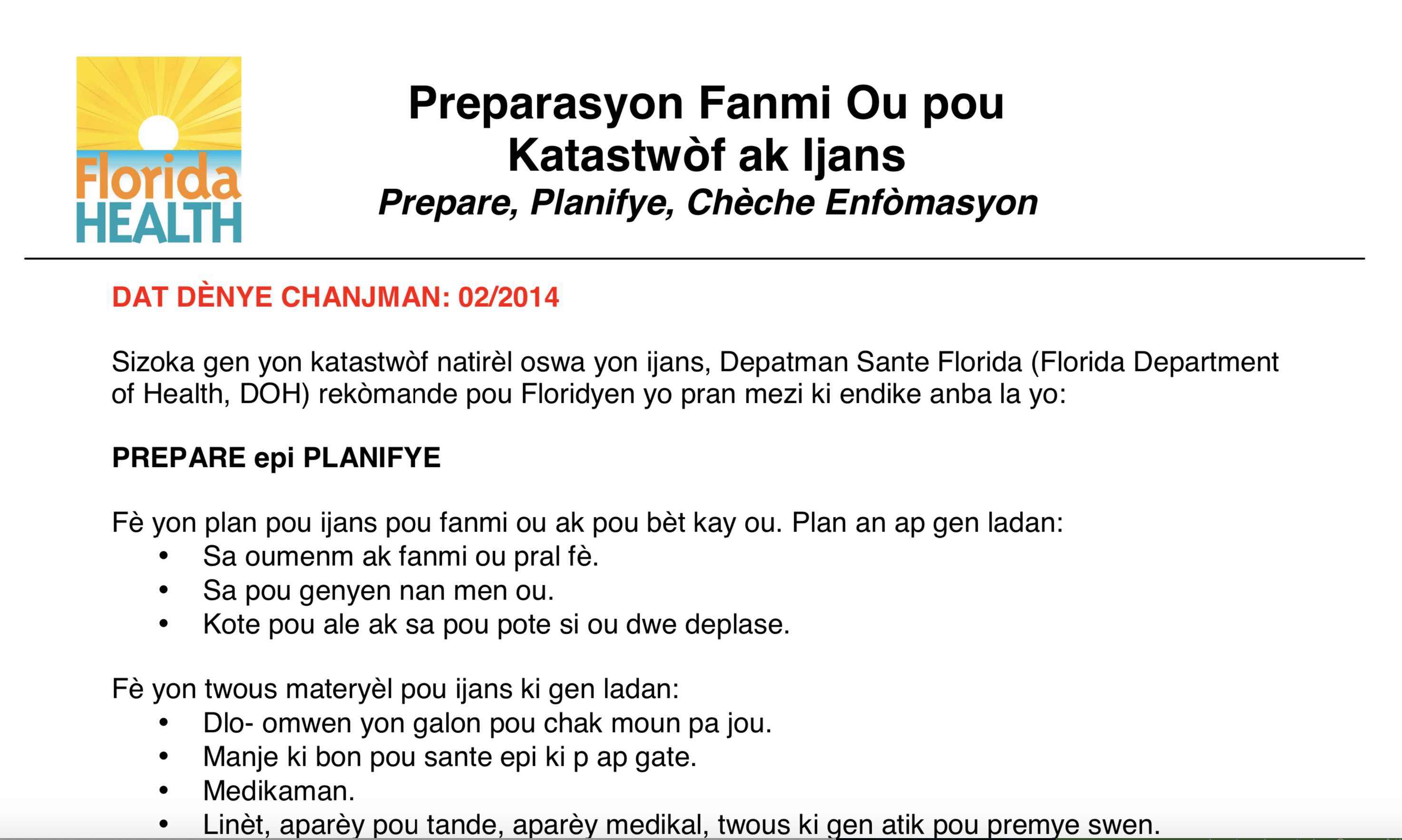
Creole Hurricane Publications
Kesyon sekou dezas FEMA ki mande souvan
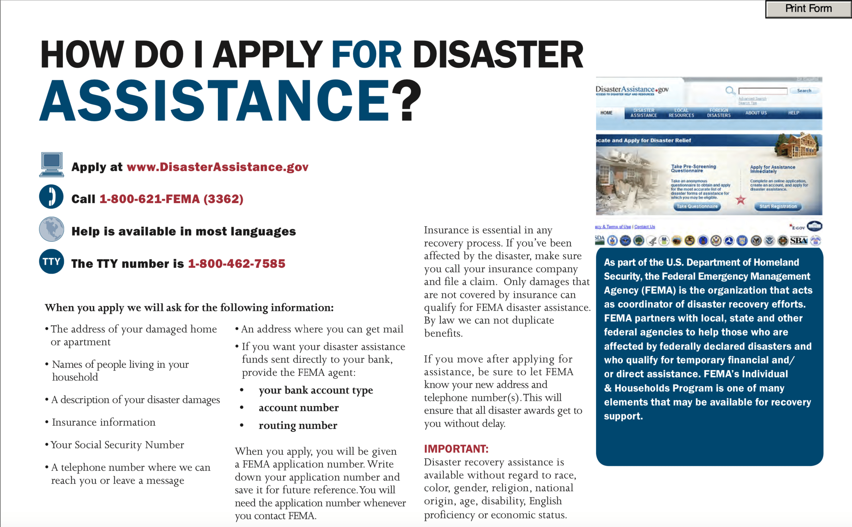
Frequently asked FEMA disaster relief questions


Website designed by Heron Bridge Education, LLC for Health Initiatives Foundation, Inc. (2019) Copyright © 2019 AGRR Initiative, Health Initiatives Foundation, Inc., All Rights Reserved

