submitted by Karen Walker
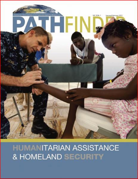
In the past two years, NGA has responded to a series of natural disasters at home and abroad. Whether providing support to emergency response teams working the aftermath of the earthquake in Haiti, the tsunami in Japan or tornadoes and floods in the United States, NGA employees worldwide have demonstrated the critical role of geospatial intelligence (GEOINT) in answering the call for help.
Our humanitarian assistance/disaster response work, among all the roles and responsibilities that come with managing the nation’s GEOINT capabilities, brings us closest to the people and communities in need during times of crisis. Our GEOINT tools and analyses save lives by helping our mission partners determine where help is needed most, by enabling the right people to be at the right place at the right time, and by anticipating what might happen next.
Problem, Solution, SitRep, or ?:


Recent Comments